METEO-ROUTE 05 ( APERCU METEO SUCCINCT
+ WEBCAM )
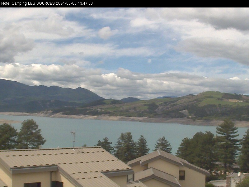
![]() OBS
OBS
( Températures - Radar pluie.neige
- Image Satellite - Webcam - Prévisions ) =

INFO-ROUTES 05 : cliquez sur la carte OU : Tel : 04 65 03 00 05
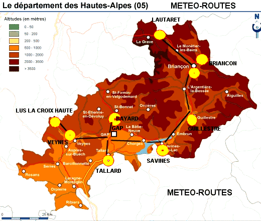
ROUTES
:

|
|
|
|
|
VILLARD d'ARENE1665 LAUTARET 2058 m Le MONETIER |
BRIANCON vers MONTGENEVRE 1310 m |
BRIANCON 1310 m |
|
Par temps ensoleillé, les températures maximales peuvent être 1 à 2 degrés supérieures en fond de vallée |
||
|
|
|
|
|
|
 |
|
|
GUILLESTRE 906 m = ( St CREPIN ) ( Même tempés max que Embrun ) |
SAVINES le Lac 780 m = (EMBRUN 870 m) |
TALLARD 593 m |
|
Par temps ensoleillé, les températures maximales peuvent être 1 à 2 degrés supérieures en fond de vallée |
||
|
|
||
|
|
|
|
|
St. JULIEN en BEAUCHENE 930 m (VEYNES) 823 m |
LUS la CROIX HAUTE 1060 m COL : 1180 m |
MANSE-BAYARD 1245 m |
|
Par temps ensoleillé, les températures maximales peuvent être 1 à 2 degrés supérieures en fond de vallée |
||
GAP 740m
Par temps ensoleillé, les températures maximales peuvent être 1 à 2 degrés supérieures en fond de vallée
|
|
Par : Meteociel infoclimat MF Meteoblue CG05
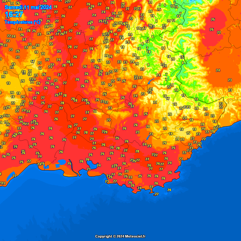
TEMPERATURES ( CLIQUEZ SUR L'MAGE ) France entière Alpes
RADAR PLUIE-NEIGE : ZOOM = CLIQUEZ SUR L'IMAGE
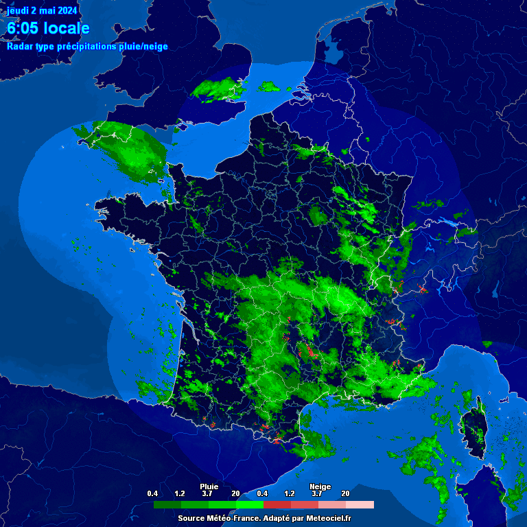
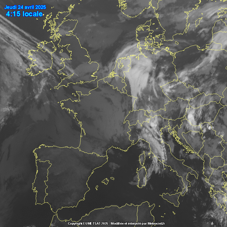
IMAGE SATELLITE : CLIQUEZ SUR L'IMAGE
ROUTES
:
VIGNETTES de SITUATION METEO (Avec Prévisions)
METEO LOCALE


![]()